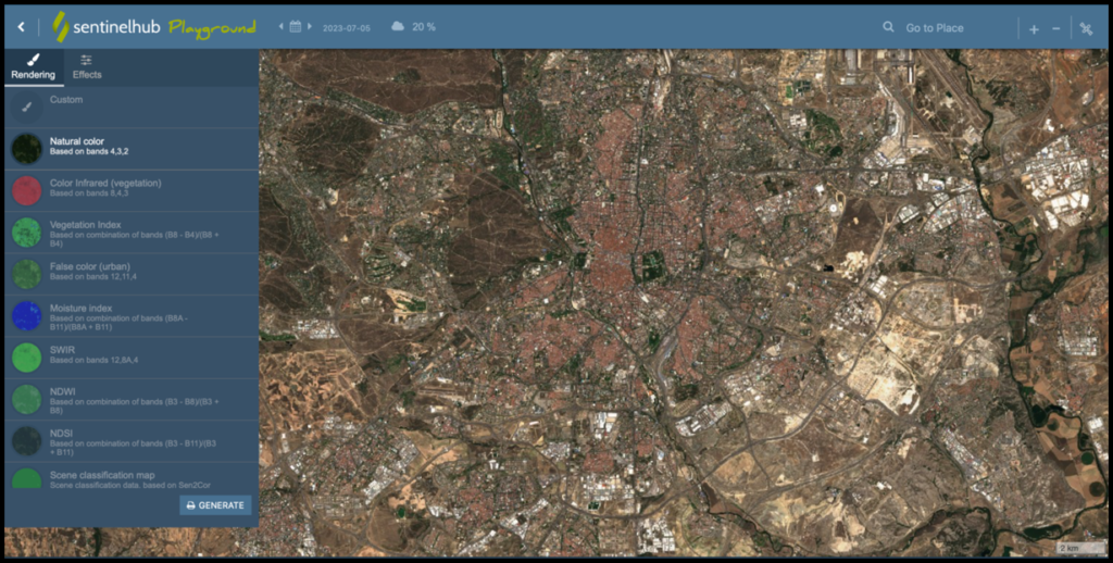
Sentinel Playground utilises Sentinel Hub technology to enable easy-to-use discovery of full-resolution Sentinel-2 imagery, along with access to the EO data products. You can browse images from the entire earth’s surface and make simple queries to restrict scenes to specific date ranges, location and cloud cover.
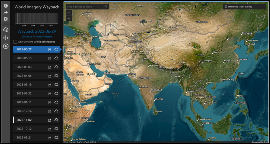
Wayback is a digital archive, providing users with access to the different versions of World Imagery created over time. Each layer in the archive represents a snapshot of the entire World Imagery map, as it existed on the date it was published. Wayback currently provides access to all published versions of World Imagery, dating back to February 20, 2014.
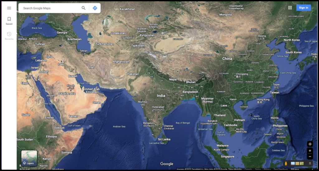
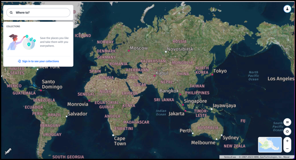
Google Maps is a web mapping platform and consumer application offered by Google. It offers satellite imagery, aerial photography, street maps, 360° interactive panoramic views of streets, real-time traffic conditions, and route planning for traveling by foot, car, bike, air and public transportation.
Google Earth Pro, can also be leveraged to view its extremely high-resolution satellite imagery, upload or download geospatial data in its native interoperable fileformat (KML), and also find locations (e.g. for simple geocoding).

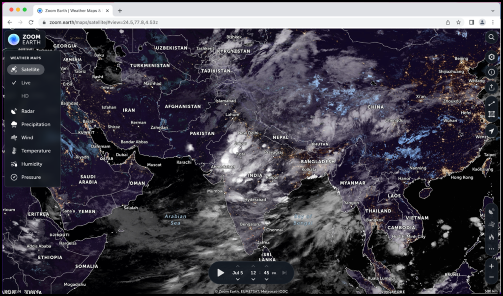
Zoom Earth us an integrative weather map of the world and a real time hurricane tracker. View Like satellite images of the latest storms and wildfires. Explore weather forecast maps of wind, rain, temperature, pressure and more for your location.
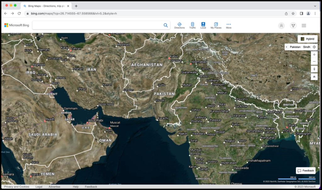
Bing Maps is a web mapping service provided as a part of Microsoft’s Bing suite of search engines and powered by the Bing Maps Platform framework. Since 2020, the map data is provided by TomTom.
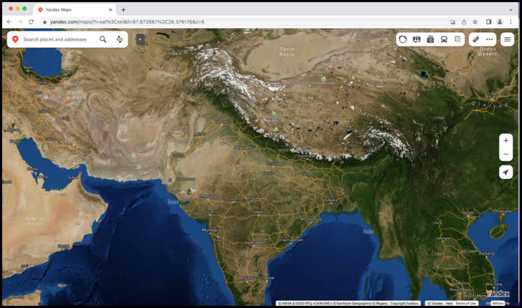
Yandex Maps is a Russian web mapping service developed by Yandex. The service provides detailed maps of the whole world, directions and estimated times of arrival for driving, walking, cycling, kick scooter, and public transportation navigation.
Mapbox :
Mapbox is an American provider of custom online maps for websites and applications such as Foursquare, Lonely Planet, the Financial Times, The Weather Channel, Instacart In c.

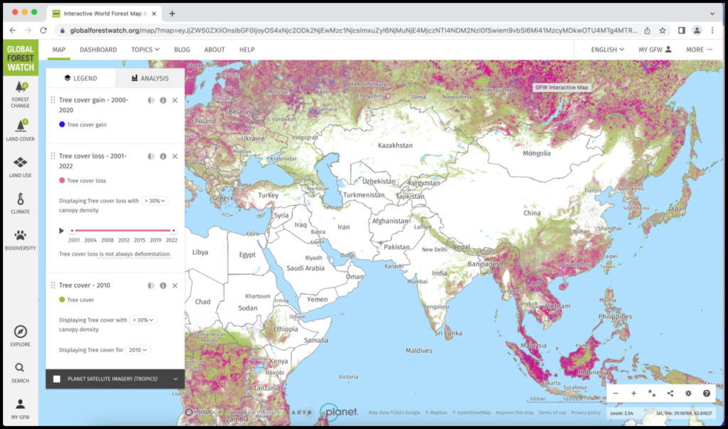
Global Forest Watch is an open-source web application to monitor global forests in near real-time. GFW is an initiative of the World Resources Institute, with partners including Google, USAID, the University of Maryland, Esri, Vizzuality and many other academic, non-profit, public, and private organizations.
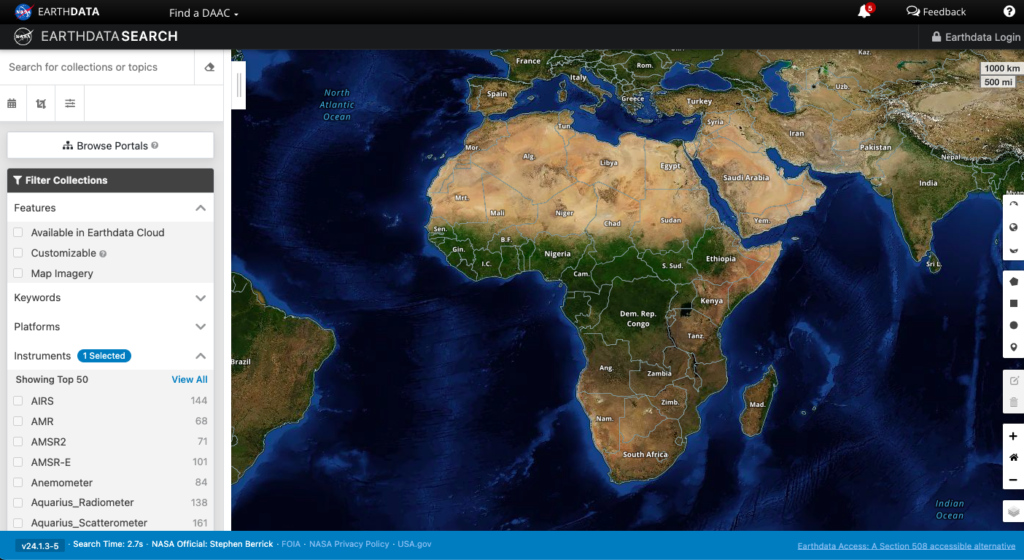
NASA’s EOSDIS provides the capability to interactively browse over 1000 global, full-resolution satellite imagery layers and then download the underlying data. Many of the imagery layers are updated daily and are available within three hours of observation – essentially showing the entire Earth as it looks “right now”.

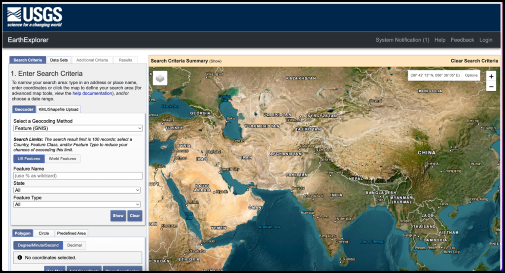
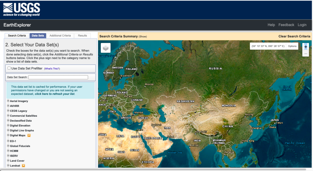
The USGS EarthExplorer is an online imagery platform (satellite, aerial, UAV) that allows users to view satellite imagery of the earth, including live views of the earth. EarthExplorer is free and has a large number of satellite data sources, but it is not necessarily the most user-friendly service. You may need to get used to all of the buttons and menu options before you can really get started with it.
The NOAA Data Access Viewer is a great tool for those who need to find data from different sources. This tool can be used to obtain information about their environment quickly and easily, without having to scour other websites or databases. Imagery, landcover and elevation/lidar. These images are available in infrared and natural colours.
Bhuvan :
Bhuvan Indian Geo-Platform of ISRO for earth observation data and services. It serves data from multiple space, air and ground-based sensors. The data currently available on Bhuvan includes the Indian continent, with several features applicable for global use (e.g., NDVI global coverage).

As a company, HERE focuses on navigation, traffic patterns, and self-driving cars. But as part of its platform, it delivers satellite maps for drivers. When you head over to HERE, you’ll first notice its squeaky clean interface. As you pan around, you get a range of satellite maps to explore.
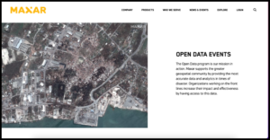
The Open Data program is our mission in action. Maxar supports the greater geospatial community by providing the most accurate data and analytics in times of disaster. Organizations working on the front lines increase their impact and effectiveness by having access to this data.
Digital Elevation Model Data Sources
Want to increase the likelihood that you will locate data from digital elevation models (DEMs)? Indeed, you do! Imagine this: pixelated peaks, wide valleys, and gorgeous mountains. Everything is yours to take and is provided at no cost.
We’ll demonstrate for you today how to locate XYZ data and ascend to the pinnacle of geospatial data brilliance. Now let’s explore our collection of five free worldwide DEM data sources.
Space Shuttle Radar Topography Mission (SRTM)
SRTM DEM data is being housed on the USGS Earth Explorer. To download, select your area of interest. Under the data sets tab, select Digital Elevation > SRTM > SRTM 1-ArcSecond Global. But here’s a USGS Earth Explorer download guide to help you get started.
ASTER Global Digital Elevation Model
ASTER GDEM boasted a global resolution of 90 meters with a resolution of 30 meters in the United States. Despite its high resolution and greater coverage (80% of the Earth), dissatisfied users expressed issues with its artifacts often in cloudy areas. You have two options to download ASTER GDEM:
- This dataset is available on NASA Earthdata free of charge in the left panel under Instruments > ASTER.
- You can download the ASTER DEM data for free from the USGS Earth Explorer. Under the data sets tab, select Digital Elevation > ASTER.
ALOS World 3D is a 30-meter resolution digital surface model (DSM) captured by the Japan Aerospace Exploration Agency (JAXA). Recently, this DSM has been made available to the public.The neat thing about is that it is the most precise global-scale elevation data now. It uses the Advanced Land Observing Satellite “DAICHI” (ALOS) based on stereo mapping from PRISM.
Where can you download the JAXA’s Global ALOS 3D World? If you want this accurate DSM, you’ll have to register online through the JAXA Global ALOS portal to download it.

Light Detection and Ranging (LiDAR)
Slowly and steadily, we are moving towards a global LiDAR map. With OpenTopography topping the list at #1, we’ve put together a list of some of the 6 best LiDAR data sources available online for free.
Because nothing beats LiDAR for spatial accuracy. After you filter ground returns, you can build an impressive DEM from LiDAR. And if you still can’t find anything in the link above, try your local or regional government. If you tell them what you are using it for, they sometimes hand out LiDAR for free.
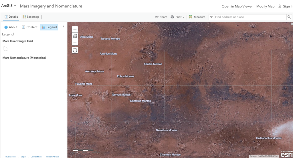
Mars Orbiter Laser Altimeter (MOLA)
Just throwing this out here to pique your interest. We aren’t only mapping out Earth’s elevation. In fact, scientists used MOLA to map out ancient streams on Mars. If this doesn’t excite you, I don’t know what would.Based on the Mars Orbiter Laser Altimeter (MOLA) instrument, you can view the rugged terrain of Mars. For example, this Mars Terrain map uses data from MOLA.
Where can you download the MOLA DEM of Mars? The USGS Astrogeology Science Center is the DEM data hub for Mars. USGS found elevations above the areoid from a Martian gravity field solution GMM-2B with a total elevation uncertainty of at least ±3m.