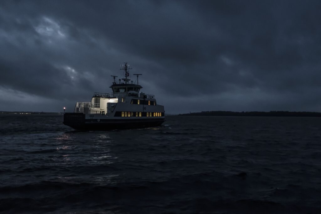
Maritime Domain Awarness
Geospatial technology plays a crucial role in enhancing Maritime Domain Awareness (MDA), which refers to the comprehensive understanding of activities and events in the maritime domain. By utilizing geospatial technology, such as satellite imagery, GIS (Geographic Information System), and remote sensing, MDA efforts are significantly improved, leading to safer, more secure, and more efficient maritime operations.

When it comes to Maritime Domain Awareness (MDA) solutions, GeoSyze offers several key advantages that set us apart. Here’s why GeoSyze is the ideal choice for MDA solutions:
- Expertise in Geospatial Technology: GeoSyze is a leading provider of geospatial technology solutions, with a team of experienced professionals well-versed in the latest advancements in the field. We have a deep understanding of geospatial data analysis, satellite imagery, GIS, and remote sensing techniques, enabling us to develop cutting-edge MDA solutions that meet the specific needs of the maritime industry.
- Comprehensive Data Acquisition: GeoSyze has access to a wide range of geospatial data sources, including satellite imagery, AIS data, and radar data. We leverage our extensive network of data providers to ensure that you have access to the most relevant and up-to-date data for your MDA requirements. Our expertise in data acquisition and integration ensures seamless data processing and analysis for accurate and timely insights.
- Customized MDA Solutions: We understand that each organization has unique MDA requirements. GeoSyze offers customized solutions tailored to your specific needs. Our team works closely with you to identify your objectives, challenges, and operational constraints. We then design and develop MDA solutions that address your specific needs, whether it’s vessel tracking, anomaly detection, risk assessment, or environmental monitoring.
- Cutting-Edge Technology: GeoSyze stays at the forefront of geospatial technology advancements, continually investing in research and development. We everage the latest tools, algorithms, and platforms to deliver state-of-the-art MDA solutions. Our expertise in artificial intelligence, machine learning, and big data analytics enables us to extract valuable insights from complex maritime datasets, empowering you with actionable intelligence for effective decision- making.
- Integration and Interoperability: GeoSyze understands the importance of integrating MDA solutions seamlessly into existing operational workflows and systems. Our team has expertise in integrating geospatial technologies with existing IT infrastructure, such as maritime surveillance systems, command centers, and data management platforms. We ensure interoperability, allowing you to leverage the full potential of your existing assets while enhancing your MDA capabilities.
- Ongoing Support and Collaboration: GeoSyze is committed to building long-term partnerships with our clients. We provide comprehensive support throughout the entire MDA solution lifecycle, from initial consultation to implementation and beyond. Our team is available to address any inquiries, provide technical assistance, and collaborate on future enhancements or modifications to meet evolving MDA requirements.
By choosing GeoSyze for your MDA solutions, you gain access to a trusted partner with expertise in geospatial technology, a comprehensive data network, customized solutions, cutting-edge technology, seamless integration, and ongoing support. We are dedicated to helping you enhance your Maritime Domain Awareness, enabling safer, more secure, and efficient maritime operations.Please don’t hesitate to contact our team to discuss your MDA requirements and explore how GeoSyze can support your organization.